Early in 2018, the Coffs Harbour History Services team put out a call for information about four subjects: Gallows Beach; the location of Calder Brae; life in the old police station which is the current Museum’s home; and the origins of a porthole from a wrecked ship.
Gallows Beach
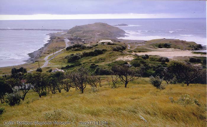
www.picturecoffsharbour.org; part of mus07-11104
Photographer: Desmond Eeley
A surfing afficionado explained that such terminology is common for beaches which are a little harder to surf at, so names such as Guillotines, Razors, Boneyards and Dead Man’s Beach are common. At the opposite end of Boambee beach is “Trapdoors” which is a local surf spot at the mouth of Boambee creek. Trapdoors and “the gallows” as such, go hand in hand in the context of sinister actions. [1]
The turn off to Sawtell, 5 km south of Coffs, can reveal some good quality waves. Trapdoor is the best set up in this area. Right when you first see the beach, there is a big, grassy bluff that you can drive up on – to the left is Trapdoor. Surfing Australia’s East Coast, Nat Young, 1980 ISBN 0725510544
There were also iron structures near Gallows beach to facilitate work in the nearby rock quarry, and one of them was a grim reminder of a gallows.
Calder Brae
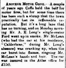
In the early 1920s, during the last years of its life, Calder Brae was a house on a farming property along the Coramba Road (opposite Roselands Drive). The house was rented, and its surrounding fruit trees are still remembered today. [2]
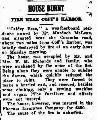
The home seemed to have an attraction for flames:
Life in Coffs Harbour’s first police station and court house
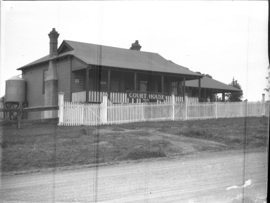
www.picturecoffsharbour.org; mus07-857
Photographer: Peter Jensen
Museum staff are still keen to talk to family members who resided in the building at 215 Harbour Drive, which served many purposes before becoming the Museum in 2014.
The porthole
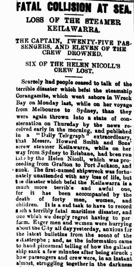
This porthole in the collection of the Coffs Harbour Regional Museum is believed to be from the Keilawarra shipwreck. It is on view as part of the travelling exhibition Submerged: Stories of Australia’s shipwrecks until the end of July 2018.
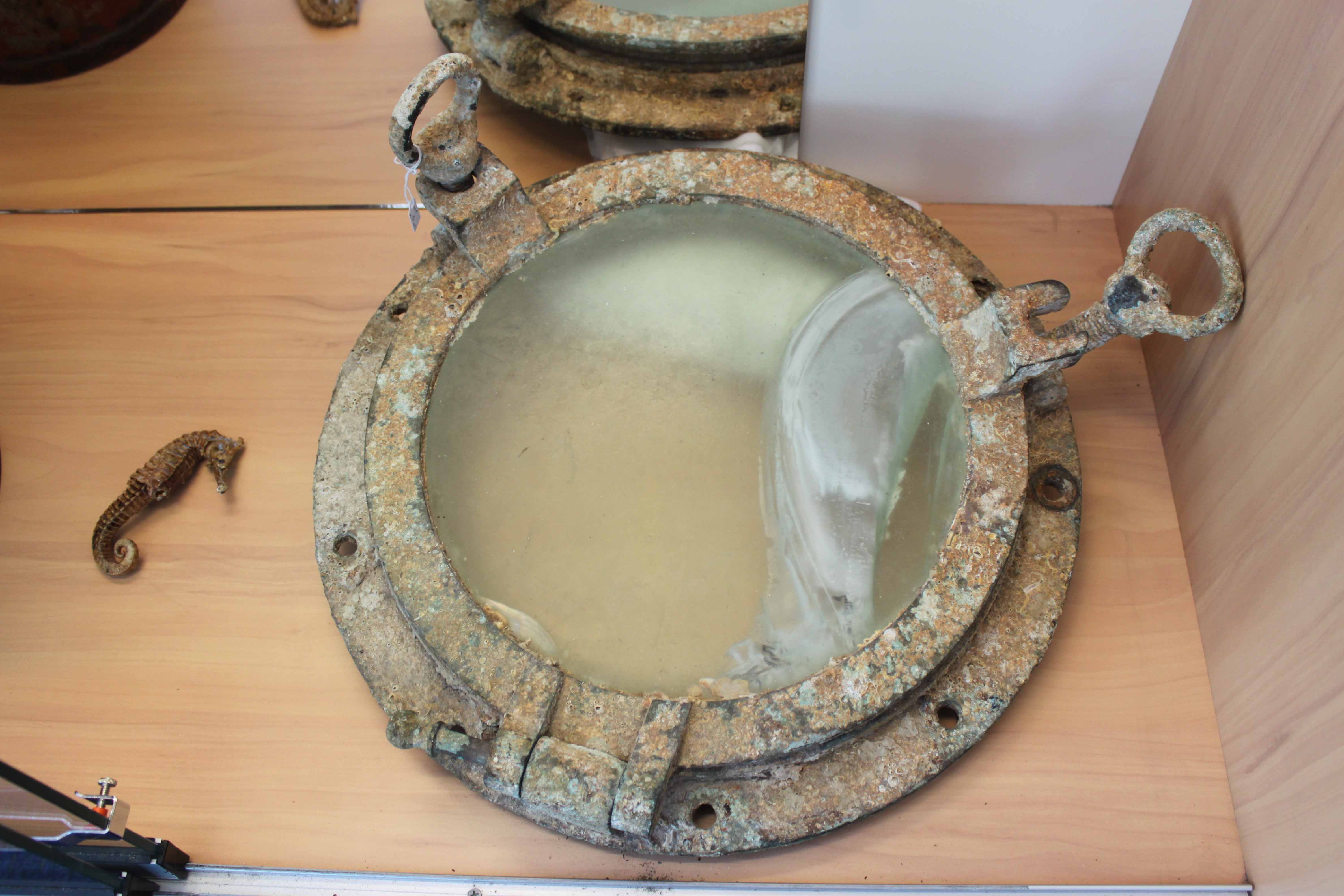
The shipwreck is one of several described in the Museum’s publication for sale titled Local shipwrecks: Wrecks in the Solitary Islands Marine Park 1843-1933, and the request for information related to the discovery of the porthole. The Museum would welcome further details.
The task to fill in our historical gaps continues.
Acknowledgements
- with thanks to Mitch Hardcastle for this information.
- with thanks to David Pike and Elizabeth Simpson for these details.

i got my learners permit to drive a motor car from the court house in 1962